OS1/11/63/27


| List of names as written | Various modes of spelling | Authorities for spelling | Situation | Description remarks |
|---|---|---|---|---|
| STOW [parish] | Stow | Stat: Acct [Statistical Account] Co Map [County Map] Val. Roll [Valuation Roll] |
020 ; 022 ; 023 ; 025 | [Situation] In the South Eastern Portion of the Co. [County] of Edinburgh |
Continued entries/extra info
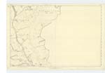
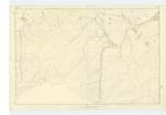
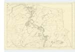
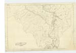
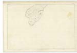
[Page] 27Parish of Stow
A large parish at the south eastern extremity of the Co. [County] of Edinburgh
covering an extent of nearly 60 square miles. While itself lying in
two counties, it is thus over a large extent of its boundary in contact
with three others. A detached pendicle of it considerably less than
a mile square lies a mile north of the most northerly part of the
main body: and is bounded on the south and west by Heriot. Its Edinburghshire
section consists of the narrow vale of Lugate, the greater Part of the deep
winding beautiful vale of the Gala, and a small part of the vale of
the Arnet. The whole Parish anciently bore the name of Wedale, or
"The vale of woe", and belonged to the Bishops of St. Andrews. Stow
is the only village in the Parish. There are five hamlets, Fountainhall,
Kylochyett, Caitha, Crosslee, and Whytbanklee, more generally known
Over
Transcribers who have contributed to this page.
Soosie
Location information for this page.
Linked mapsheets.