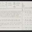
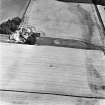
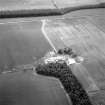
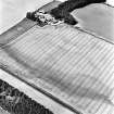
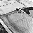
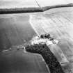
Cavers Mains


Details
Organisation: Historic Environment Scotland (HES)
Alternative name(s):
Canmore ID: 55268
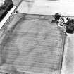
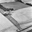
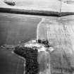
Site type: Temporary Camp (roman)
County: Roxburghshire
Parish: Cavers
Council: Scottish Borders, The

Organisation: Historic Environment Scotland (HES)
Alternative name(s):
Canmore ID: 55268
Site type: Temporary Camp (roman)
County: Roxburghshire
Parish: Cavers
Council: Scottish Borders, The