Organisation: Historic Environment Scotland (HES)
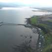
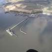
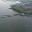
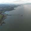
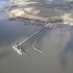
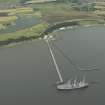
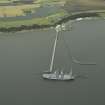
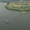
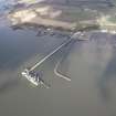
Alternative name(s): Rnad Crombie; River Forth; Crombie Pier; Inner Firth Of Forth
Canmore ID: 125404
Site type: Pier (first World War), Pier (20th Century), Pier (second World War)
County: Fife
Parish: Torryburn
Council: Fife