
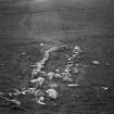
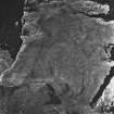
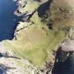
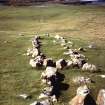
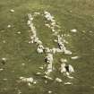
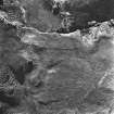
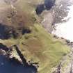
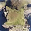
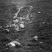
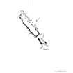
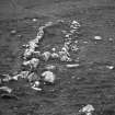
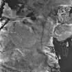
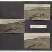
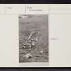
Canna, Rubha Langanes


Details
Organisation: Historic Environment Scotland (HES)
Alternative name(s): Rudha Langanes; Rudha Langaninnis; Tarbert; 'king Of Norway's Grave'
Canmore ID: 10733
Site type: Structure(s) (period Unassigned)
County: Inverness-shire
Parish: Small Isles
Council: Highland