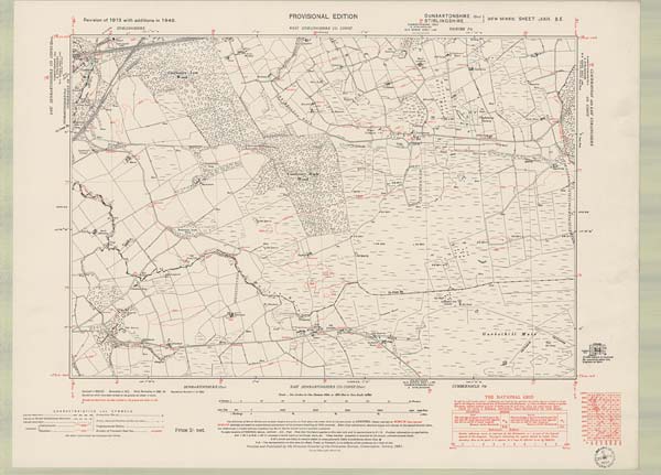
Ordnance Survey Six-inch To The Mile, Dunbartonshire Sheet N Xxix.se

See: <a href="https://maps.nls.uk/os/6inch-2nd-and-later/">Ordnance Survey Maps Six-inch 2nd and later editions, 1892-1960</a>
This image and its related metadata are available under a Creative Commons Attribution-NonCommercial-ShareAlike 4.0 International License. Under this license you are free to share and adapt material, as long as you provide a credit to the source and a link to the license, do not use the material for commercial purposes, and use the same license if you share any re-mixes or transformations you make of the material.

Details

Organisation: National Library of Scotland (NLS)

Reference number: 75498606

Parishes: Cumbernauld, Falkirk

Counties: Dunbartonshire, Stirlingshire

Date of survey: 1946

Survey date: 1946

Publication date: ca. 1952

Centroid: Easting/Northing: 281018.5, 676709

Notes: See: Ordnance Survey Maps Six-inch 2nd and later editions, 1892-1960